Content by Terry Brown, terrynbrown@gmail.com, more software etc. on GitHub. @tbnorth.
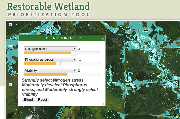
- Interactive scenario mapping tool.
[link]
Interactive mapping tool which lets the user define scenarios for wetland restoration projects.
- Gamification of
migration of 4500 issues from Launchpad to GitLab. [link]
Site generation, issue harvesting via API from both sites, coding - i.e. everything except the graphics.

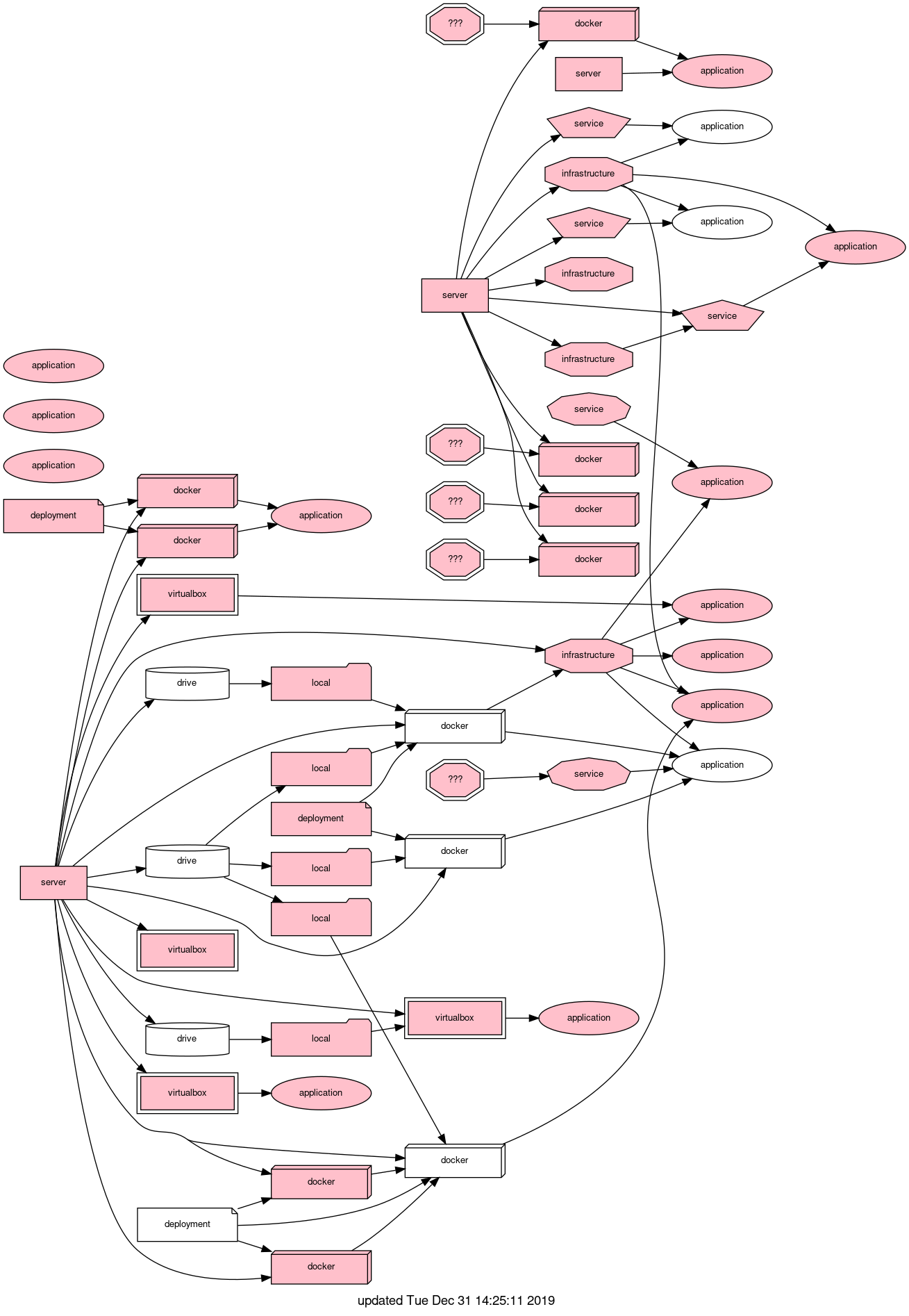
- IT infrastructure mapping
[link]
Tool to map and analyze IT infrastructure. Names replaced with types below for explanation.
- Find sweet spots for splitting long Python functions.
[link]
Uses Abstract Syntax Tree (AST) analyses to find the best place to split a long function. E.g. line 761 in the example needs only a single variable to be passed.

(use space to advance slides)
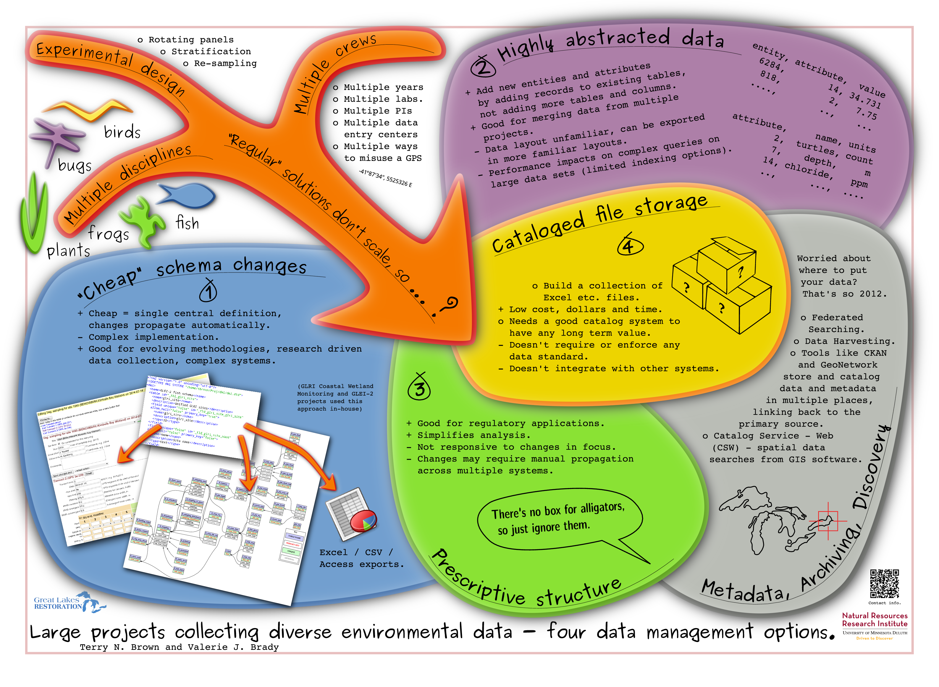
- Poster - data management strategies [link]
Describes various options for managing research data. Won "best coffee shop poster" category :-)
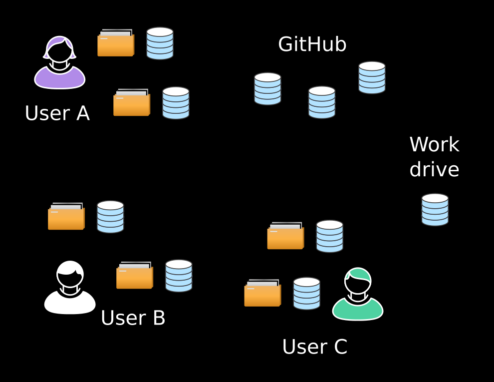
- Intro. to git for scientists using Python [link]
Git is useful for data management and research reproducibility too.
- Agent based modeling of lake water quality [link]
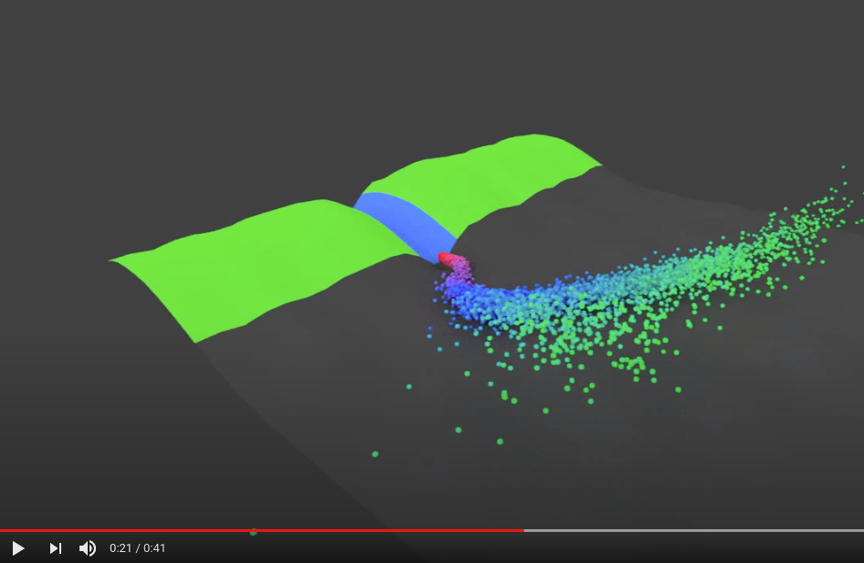
Simulating the origin of nearshore water using agent based modeling and distributed computing.
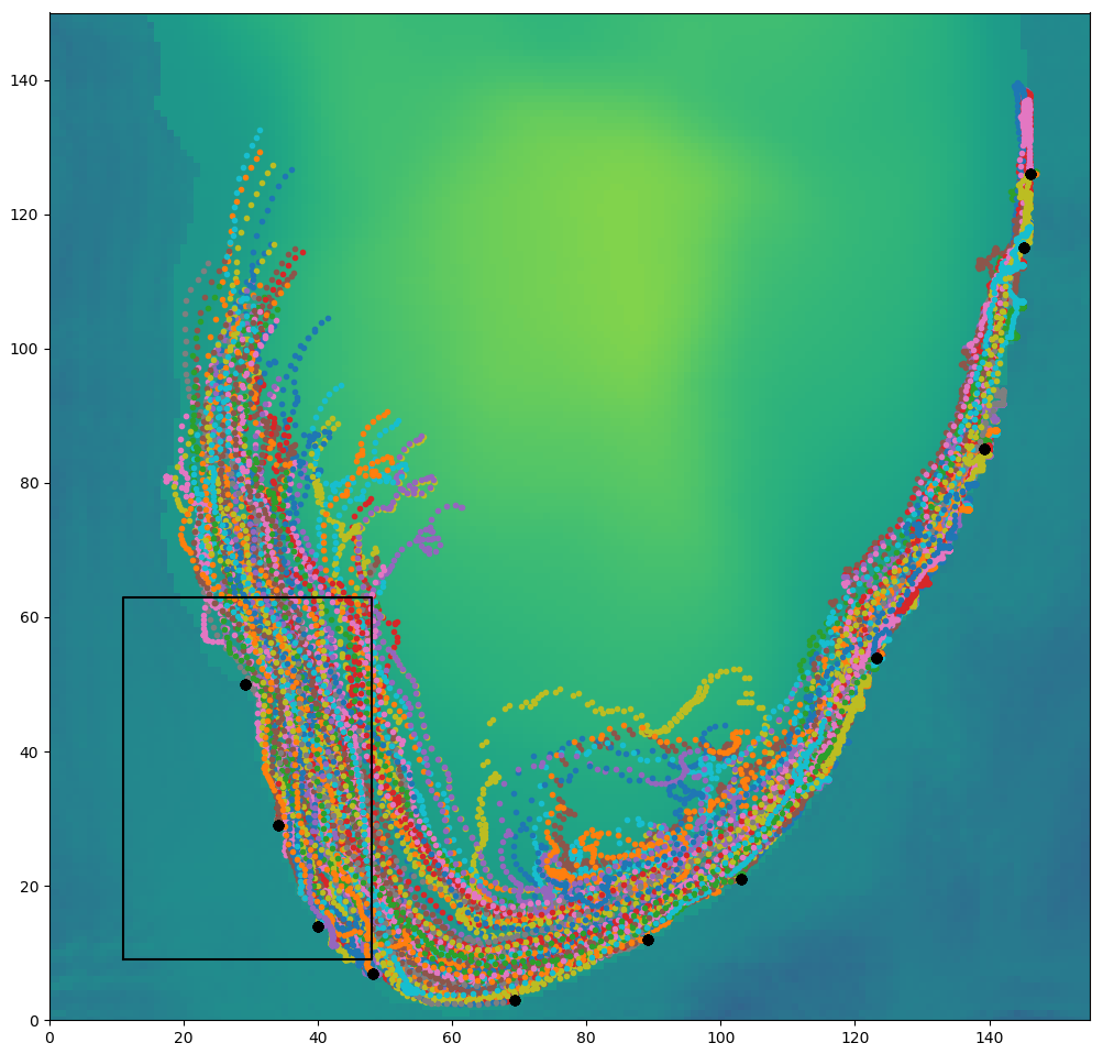
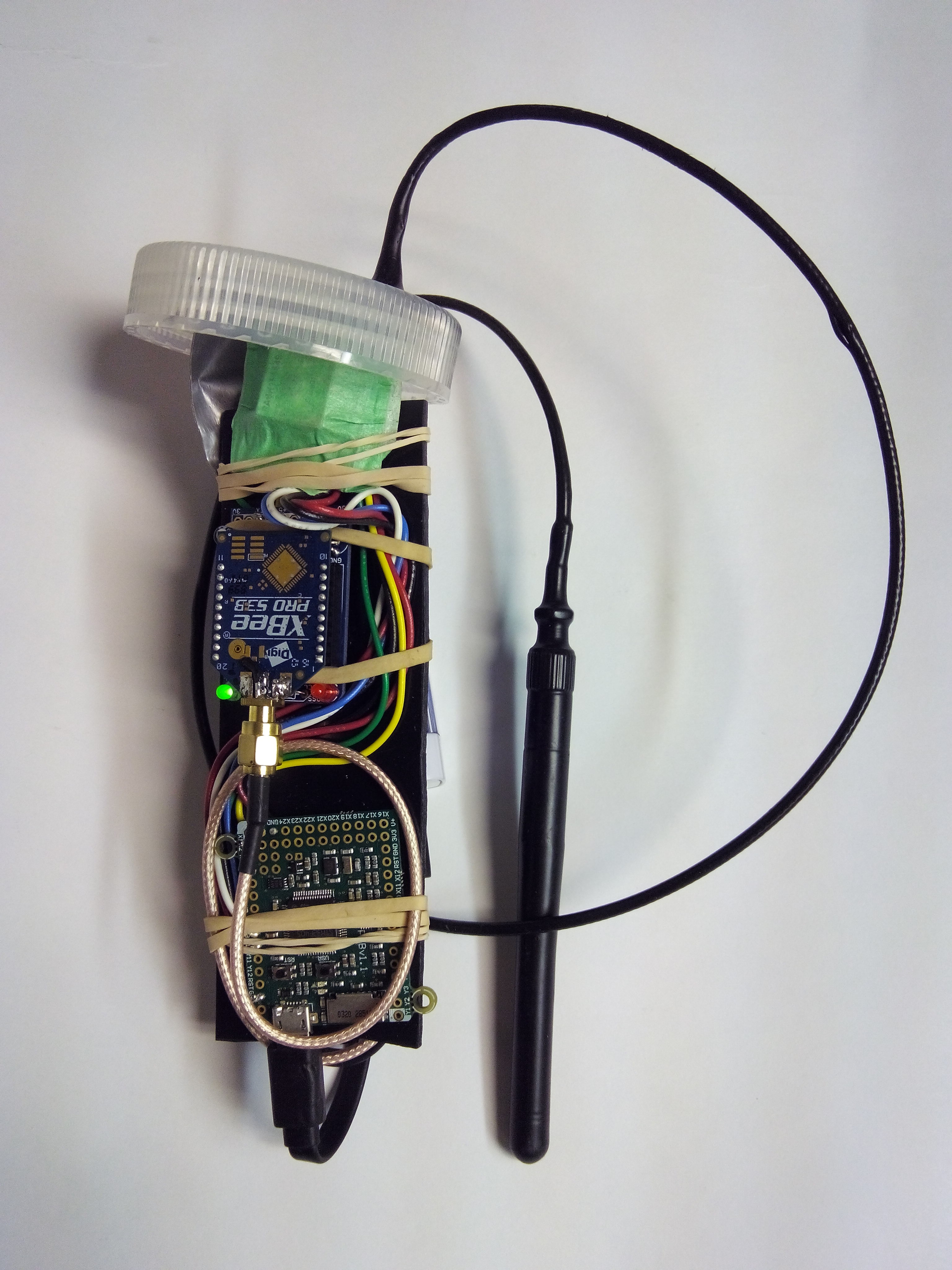
- Low cost current mapping drifters, PyBoard, MicroPython [link]
A project to produce low cost current mapping equipment with multiple software components (IoT networking, visualization, in-field base-station GUI).
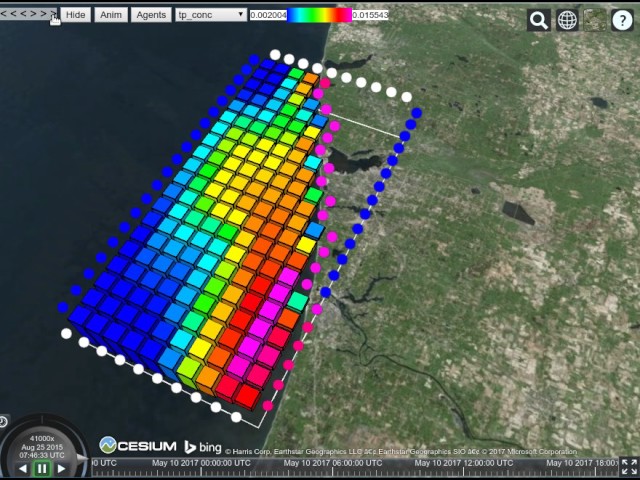
- Nearshore nutrient circulation model [link]
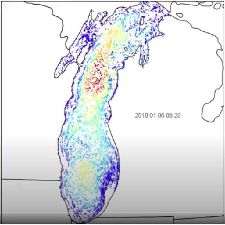
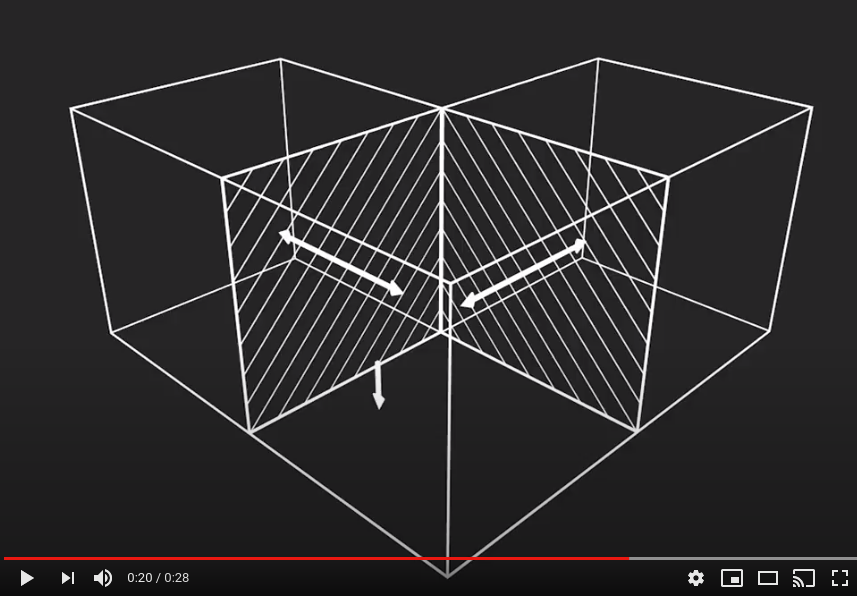
Modeling nearshore phosphorus movement with 4D visualization.
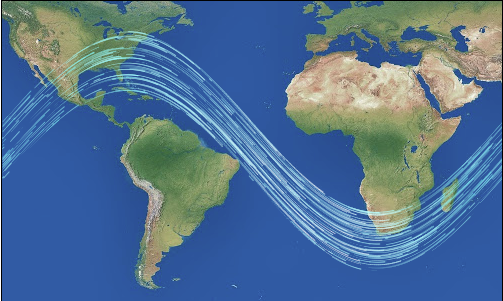
- Fading dots JavaScript flow map demo [link]
A small JavaScript canvas / image demo.
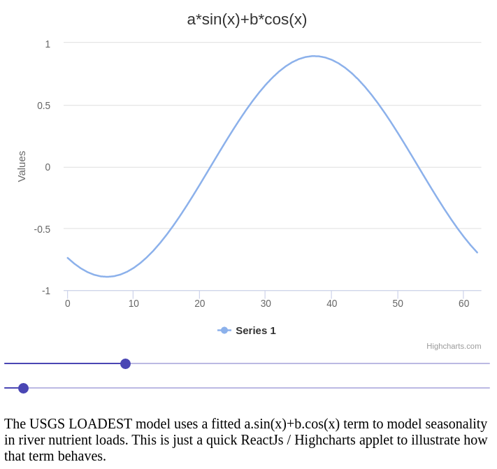
- React / Highcharts function demo [link]
Visualize the different forms a model term can take.
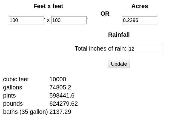
- Rainfall volume calculator [link]
Calculate rainfall volume over different areas in different units.
- E-mail clean / list send [link]
Turns that jumbled Excel column of variously formatted and duplicated emails into a unique list of proper emails in blocks acceptable to you ISP.

- Manage
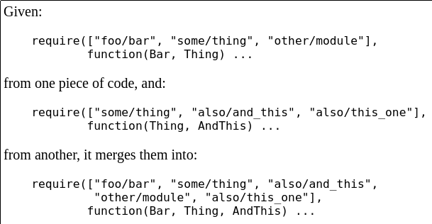
require()lists for Dojo etc. [link]An old utility useful developing ESRI ArcGIS web apps.
